A wide offering of quality Inertial systems including IMU, VG & NAV, GNSS-Inertial positioning and orientation systems and Attitude Heading Reference System (AHRS).
Attitude Heading Reference System (AHRS)
SANDEL field-proven high-reliability MEMS-based Attitude & Heading Reference Systems supporting standard ARINC 429 message labels.
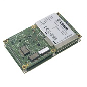
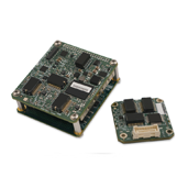
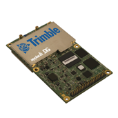
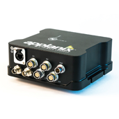
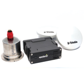
GNSS-Inertial Positioning and Orientation Systems
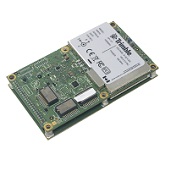
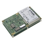
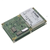
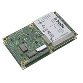
The Trimble AP series of embedded GNSS-Inertial OEM boards plus Inertial Measurement Units (IMU) provides continuous mobile positioning in poor signal environments and high-accuracy direct geo referencing of imaging sensors.
Excellent for precise positioning and orientation in 3-D.
Featuring a high-performance precision GNSS receiver and the industry leading Applanix IN-Fusion™ GNSS-Inertial software running on a powerful, dedicated Inertial Engine (IE) board, the modular design of the AP ensures full, high-rate GNSS-inertial processing without sacrificing performance, and provides an upgrade path to next generation GNSS technology as it becomes available.
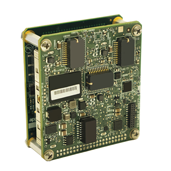
IMU, VG & NAV
Geodetics quality Inertial Measurement Sensors are used in a wide variety of applications. Those include Inertial Measurement Units (IMU), Vertical Gyros (VG) and Navigation Systems (NAV).
For more information please review our products and solutions below or go to:
Attitude Heading Reference System (AHRS)
GNSS-Inertial Positioning and Orientation Systems